|
Taney County Geographic Information Systems
Taney County’s GIS Department is aiding our citizens by creating many layers of data available for public use, such as cemetery locations, road centerline files, historical sites, water test sites, commercial wastewater treatment plants, and so on. As new needs are determined, new layers are added and made available. Our mission is accomplished in a spirit of partnership and cooperation with all Taney County Offices and Cities, as well as our local and statewide GIS community. Taney County is part of the Tri-Lakes Regional User Group that meets quarterly. Click here to visit the Tri-lakes Regional GIS User Group site. |

|
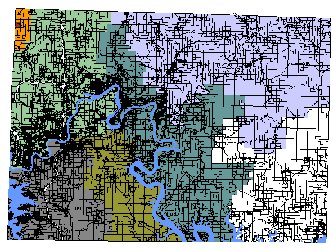
The entire county has been mapped using both GPS data and Digital Ortho photography. The county\'s Real Estate database has also been tied into the mapping system and provides a wealth of information. For instructions on how to use the site or click the image to left to get started. |
|
2022 Taney County Plat Books are here!

Come on in to the County GIS department to get yours TODAY! |
|
County Information Systems / GIS
Standard department page content from the county database inside the new site shell.
7 available department pages
GIS Home current department view
Department Info
Contact Information
Physical Address
16317 US HWY 160 Suite C - Forsyth, MO 65653
Phone
(417) 546-7210
Fax
(417) 546-2058