 |
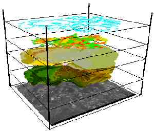
Utilizing aerial photography and digital orthophotography, Taney County's GIS Technicians can create, collect, store and display large amounts of geospecific data. GIS allows for the creation of layers, such as streets, roads, land parcels, streams, rivers, lakes, railroads and other land features. These layers can be combined to create sophisticated land maps. The strength of GIS lies in its ability to quickly facilitate decision and policy making through the analysis of current and easily identifiable geographic information. TANEY COUNTY INTERNET MAPPING In November 2004, Taney County went on-line with its GIS system and made internet mapping available to the general public. Taney County now offers you the ability to search Assessor records for ownership, valuation, and other parcel information. Our web Mapping also enables you to display map information such as parcel numbers, road names and district boundaries. |

|
|
County Information Systems / GIS
Standard department page content from the county database inside the new site shell.
7 available department pages
About GIS current department view
Department Info
Contact Information
Physical Address
16317 US HWY 160 Suite C - Forsyth, MO 65653
Phone
(417) 546-7210
Fax
(417) 546-2058